Kverkfjöll
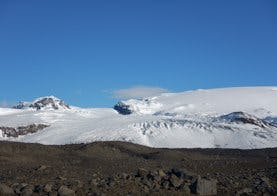
The Kverkfjöll mountain range, Iceland’s third highest mountain group, is a cluster of peaks formed by a large central volcano on the northern edge of the Vatnajökull ice cap.
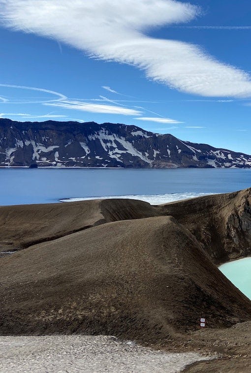
Two ice-filled calderas are believed to be in the Kverkfjöll mountains and on the Kverkfjöll ridge. The caldera to the south is covered by a glacier but the rims of the northern caldera are mostly ice-free except on the south side. The caldera lie at an altitude of around 1,800 m. The highest peak is Skarphéðinstindur, 1936 m above sea level, on the eastern part of the range. The mountains are divided into eastern and western halves by Kverk, a wide pass cutting through steep, rocky walls. Kverkjökull glacier flows outwards via the pass to the north-west down to the highland plateau, which is approximately 900 m above sea level. Massive glacier tongues extend from the Vatnajökull ice cap on both sides of the Kverkfjöll mountains, and to the west is Dyngjujökull while Brúarjökull is to the east.
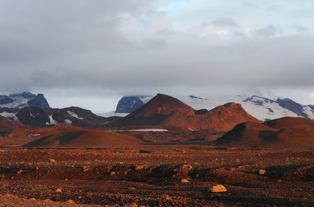
Kverkfjallarani (Kverkfjöll ridge) is for the most part made up of 5-6 parallel hyaloclastite ridges with the peaks steadily getting higher as one draws closer to the Kverkfjöll mountains. A rift valley named Hraundalur extends through the length of Kverkfjallarani towards Kverk and divides it into an east and a west ridge. Into its innermost part creep moraine glaciers from the eastern Kverkfjöll.
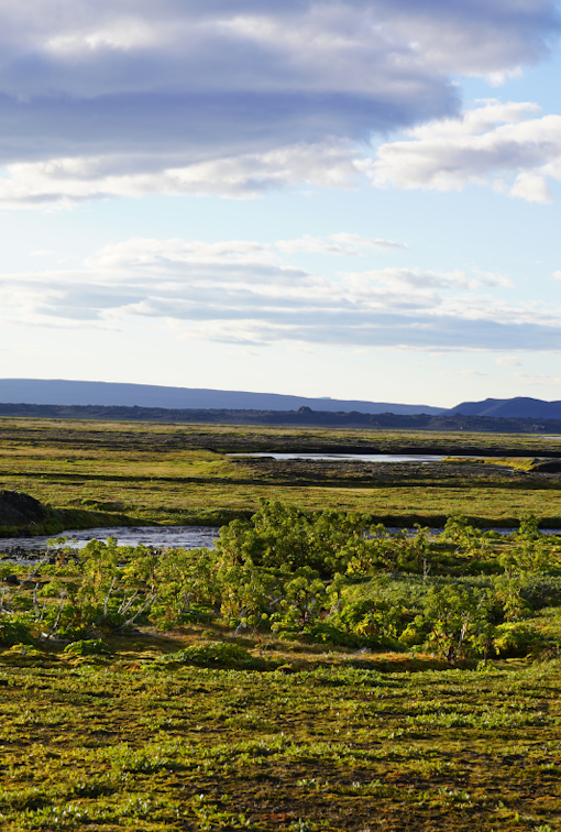
The glacial river Kreppa issues from the western edge of Brúarjökull while Jökulsá á Fjöllum issues in many tributaries from under Dyngjujökull. The largest tributaries of Jökulsá issue from under the glacier just to the west of Kverkfjöll mountains while further to the east some tributaries disappear into the sand scoured lava. Fine glacial clay is deposited which is subsequently swept up by the wind causing large mist columns that can close down visibility and be carried far and wide.
Hiking
Sigurðarskáli hut - Kverkjökull
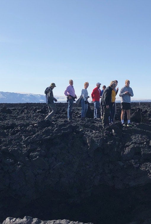
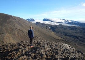
The trail from Sigurðarskáli Hut in Kverkjöll to the car park next to Kverkjökull glacier is about 3 kilometers long. The trail offers lava formations, moraines and vegatation. Warning the terminus of the glacier is always changing and over the summer time block of ice can fall down.
Sigurðarskáli hut - Virkisfell
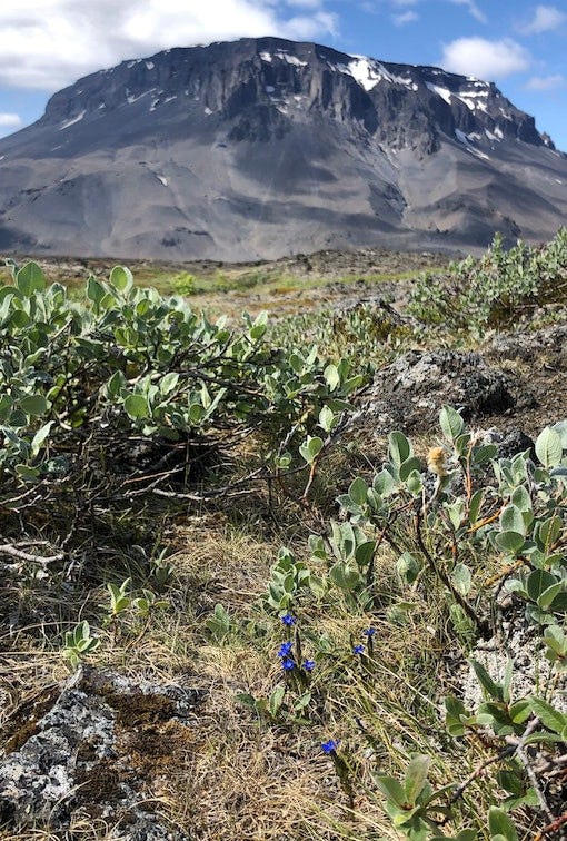
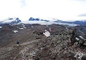
The trail starts next to Sigurðarskáli hut and turns south and up Virkisfell. The trail offers view over the glacier and highland landscape, lava formations and volcanic scoria. The trail is a bit steep and rough.
Sigurðarskáli hut - Biskupsfell
The trail starts at Sigurðarskáli hut and offers views and lava formations.