Eldgjá & Langisjór
About Eldgjá og Langasjó
– Come visit
About Eldgjá og Langasjó
– Come visit
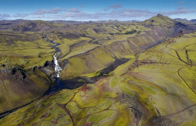
Eldgjá is a part of a volcanic fissure that stretches from Mýrdalsjökull almost to Vatnajökull. Eldgjá is about 8 km long, 600 m wide and up to 150 m deep. It was formed in the year 939 during one of the largest volcanic eruptions in Iceland in historical times. Eldgjá‘s main attraction is the waterfall Ófærufoss, located a short walking distance from the area‘s car park.
Access & service
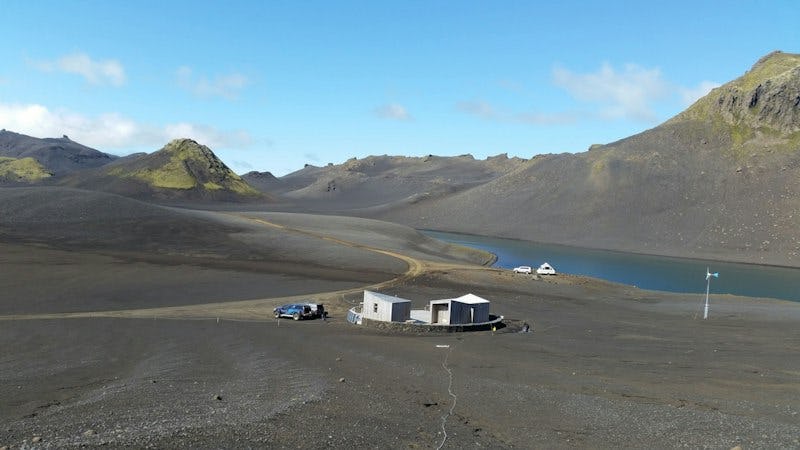
Park rangers at Eldgjá and Langisjór Lake are stationed just south of Eldgjá at Hólaskjól. For most of the day, they are available to provide visitors with information about the region at the service centre in Eldgjá or at Ströngukvísl. They also serve the entire area of the park between the rivers Skaftá and Tungnaá. Flush toilet facilities are located at the service centres in Eldgjá and at the south end of Langisjór. There is a campsite at Langisjór with minimal services, where rangers also have facilities. During the winter, rangers are not always on site.
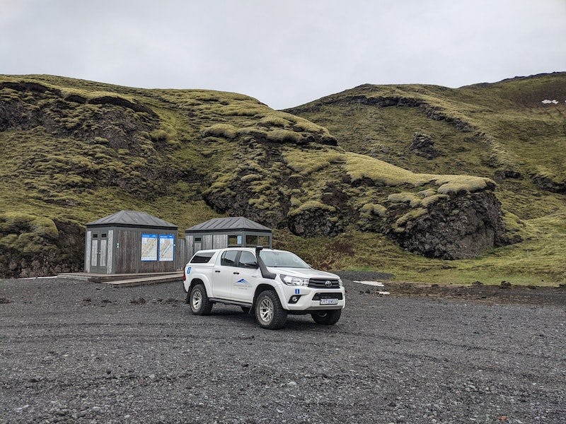
The road into Eldgjá (F208) is only accessible by four-wheel drive and there is one unbridged river crossing, Strangakvísl, along the way. As a general rule, the road into Langisjór opens in the beginning of June. This road is also only accessible by four-wheel drive and there are several unbridged river crossings. At the south end of Langisjór is a marina, a facilities building with toilets and a simple campground operated by Vatnajökull National Park. We encourage visitors to inquire about road conditions at the park's visitors centre in Kirkjubæjarklaustur, where the rangers provide helpful travel advice.
The rangers at Eldgjá and Langisjór can be contacted by phone at 842 4379.
Accomodation
From Eldgjá, it's a short distance to cabins and a campsite at Hólaskjól, with both large public accommodations and smaller private houses. All houses are equipped with electricity, flush toilets and a hot shower.
At the south end of Langisjór is a small campsite on the pumice field, and a flush toilet facility and running water are not far away. Further information is available on this website, from the rangers in the area and at the Skaftárstofa Visitor Centre. A popular two- to three-day hiking trail runs between the mountain Sveinstindur and Hólaskjól. Along the trail are two shepherds' huts that have been renovated by the Útivist Travel Association.
Another hut is located below Sveinstindur by the river Skaftá. There is sleeping space for 18 people, but due to sedimentary runoff from Skaftá, the campsite has shrunken somewhat and can only accommodate a few tents. The other hut is at Stóragil in Skælingar. There is a nice campsite there and accommodation for 16 people.
Útivist Travel Association is responsible for renting out these huts and visitors are encouraged to contact the association to book accommodations.
Nature & history
- Learn & explore
Nature & history
- Learn & explore
Eldgjá
Between the years 934 and 940, shortly after the settlement of Iceland, a catastrophic eruption originated in Katla and continued over a long period of activity. The massive, 75 kilometres long Eldgjá fissure opened up northeast of the eruption site and almost reaches from one glacier to the next. The fissure can be separated into three main parts. On the northernmost end are the Kambagígar craters and the craters at Stakafell, which reach all the way north to Tröllhamar. Eldgjá itself is located in the middle of the fissure where the northern part of the Fjallabaksleið mountain road runs through it. Here the fissure is most spectacular and is what people generally refer to when they talk about Eldgjá. At this point the crevasse is about 600 metres wide and 150 metres deep. The river Nyrðri Ófæra plunges into its central point in the beautiful Ófærufoss waterfall. At the bottom of Eldgjá, Nyrðri Ófæra runs to the southwest and playfully trickles through a row of craters adorning the bottom of the pass. In spite of the soothing sound of the flowing waters, it is not hard for travellers to picture the great natural catastrophes that led to the creation of this impressive landscape. The southernmost part of the Eldgjá fissure reaches under Mýrdalsjökull by Öldufell, where Katla erupted to form the Álftavershraun lava field.
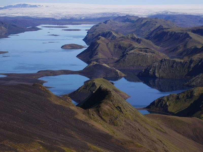
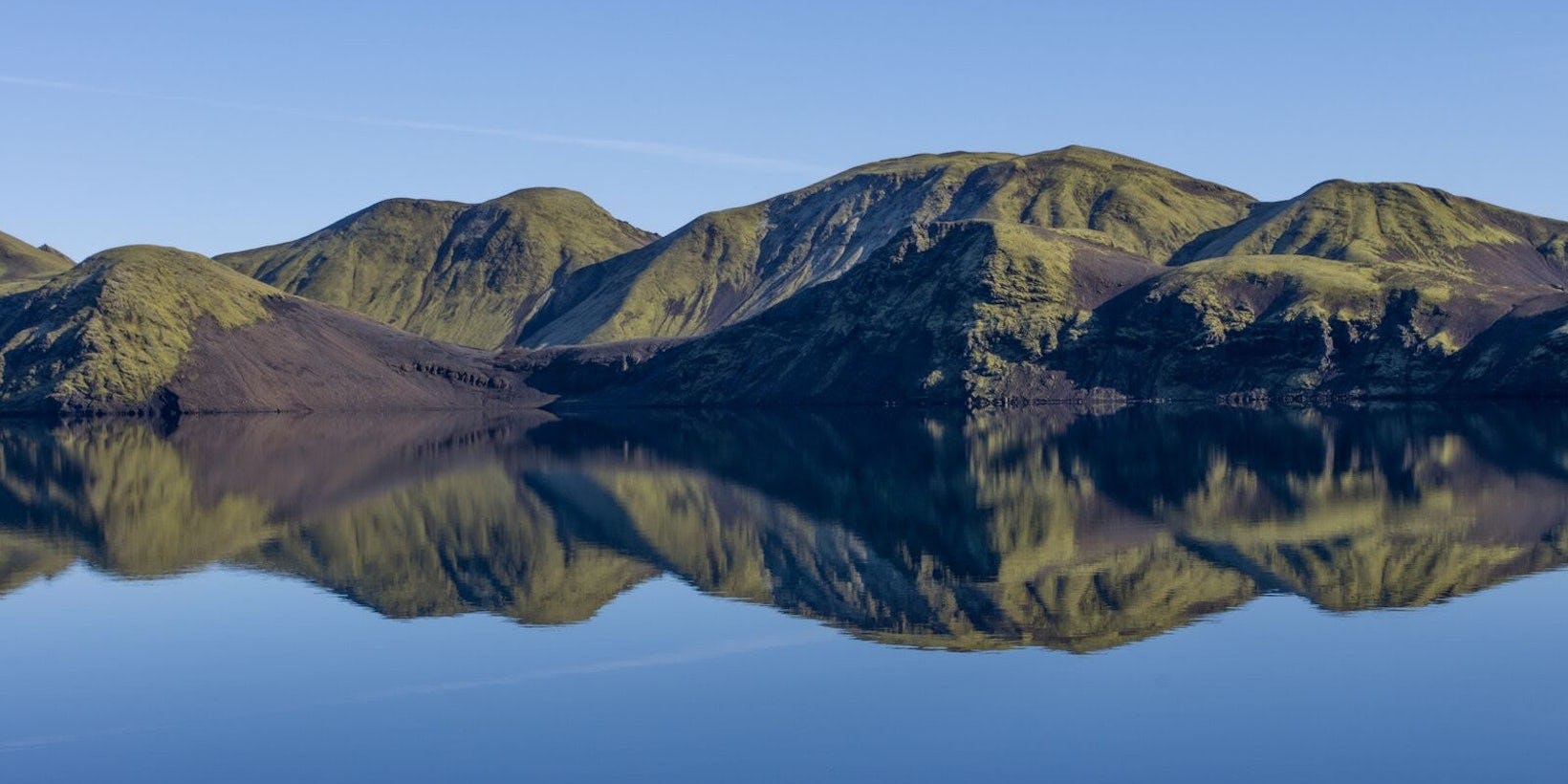
Langisjór
Langisjór is an approximately 27 square kilometre lake, 20 kilometres long and reaching a depth of 74 metres at its deepest point. A tributary from the river Skaftá flowed into the lake in the first half of the twentieth century. At the time it was an ashen grey colour from glacial sediments but is now one of the clearest mountain lakes in Iceland. It is believed that shepherds were the first to set eyes on the lake, which they named Skaftárvatn. Þorvaldur Thoroddsen later gave it name Langisjór, which it has since kept. The hyaloclastite ridges surrounding Langisjór are characteristic of the region and are unique in the world.
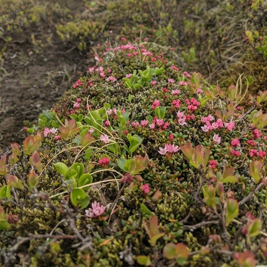
The white glacier, blue lake water, moss-green mountains, the black pumice and the experience of an endless, vast expanse give Langisjór and its surroundings a one-of-a-kind character. We kindly encourage our guests who are considering walking around the lake to protect the vegetation in the area as much as possible, only walk on the existing paths and to camp on the pumice rather than the moss, which is slower to recover after interference.
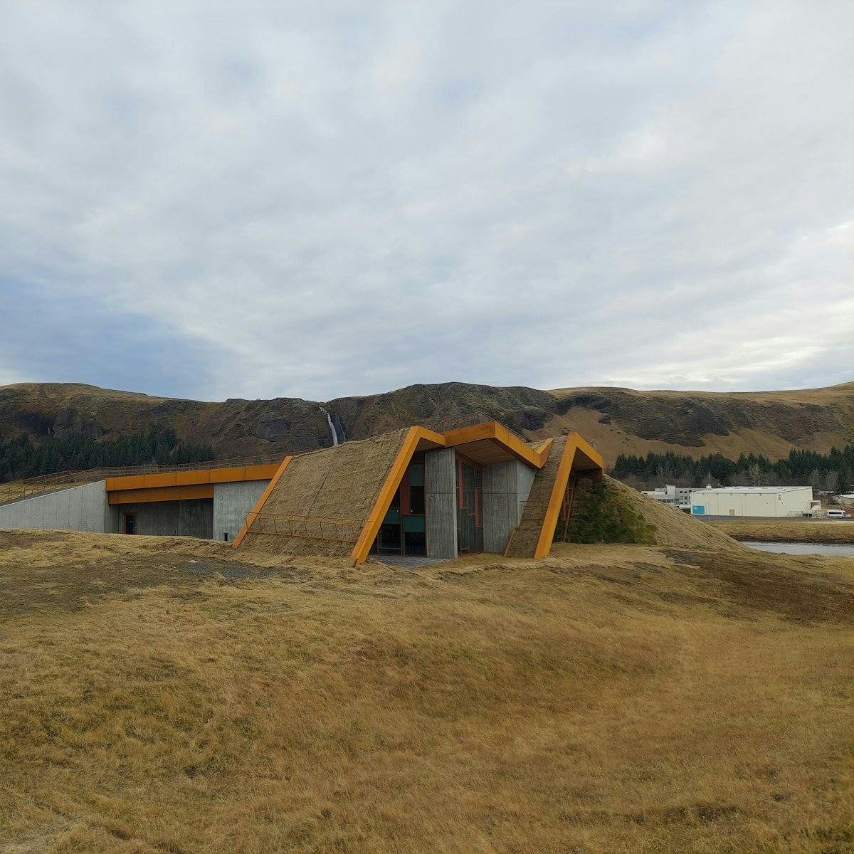
Skaftárstofa Visitor Centre
Skaftárstofa is the Vatnajökull National Park visitors centre, located by Sönghóll in Kirkjubæjarklaustur. It has an information centre for the municipality of Skaftárhreppur, and visitors have the option to see the exhibition "Springtrip" by the Iceland Glaciology Society. The exhibition, which was made on the occasion of the society's 70th anniversary, sheds light on its history, explains the construction of the society's cabins, trips on the glacier, glacial tongue measurements, research projects that have been carried out during spring trips to Vatnajökull, the glacier bacteria and the magazine Jökli.