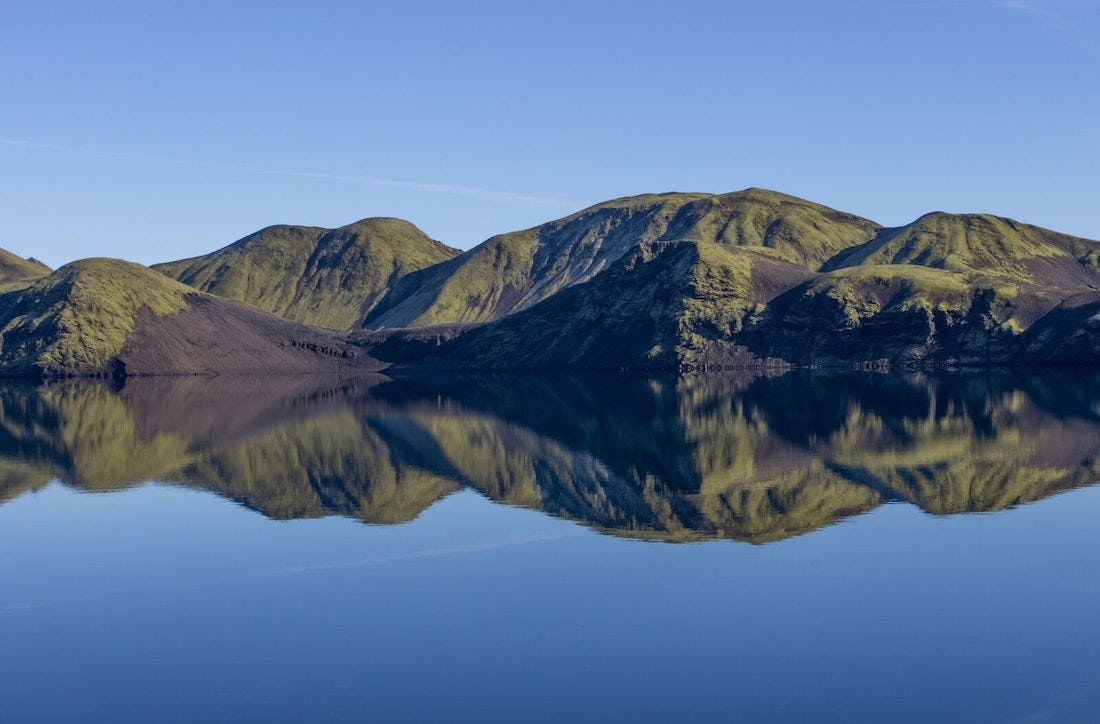
Around Sveinstindur
From the car park at Langisjór, the route follows the southern edge of the lake for about 4 km to a good vantage-point. At the end of Fagralón the path turns south and take you back on the southern side of Sveinstindur. The path follows some old trails but is not posted.
Connected hikes
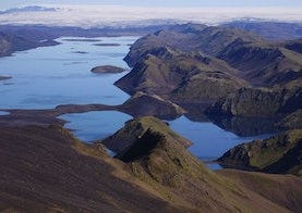
Sveinstindur
From the car park west of Sveinstindur is a trail taking you to the top of Sveinstindur (1089 m a.s.l.). The walk is quite steep but the view on a good day is stunning.