Nýidalur & Tungnaáröræfi
About Nýidalur
– Come visit
About Nýidalur
– Come visit
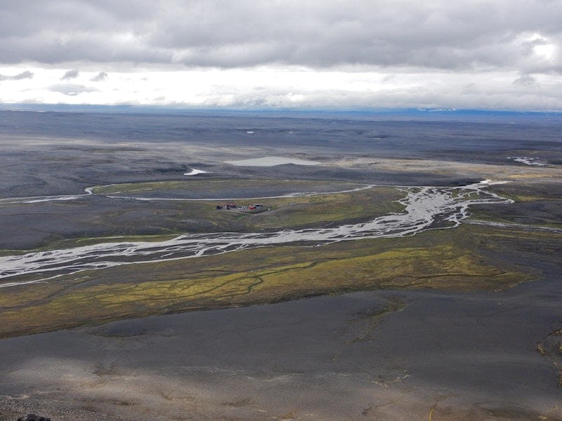
Nýidalur (Jökladalur) is almost in the centre of the Icelandic highland. Travellers who have crossed the deserts of Sprengisandur or Dyngjufjallaleið are often awestruck when the valley appears as a grassy oasis in the midst of a wasteland 820 metres above sea level. Though travellers have long crossed Sprengisandur, Nýidalur can be considered a recent discovery. The route through the desert used to be considerably further west than the highway is today, so the valley was generally unknown until farmers from the valley of Bárðardalur travelled further than usual in search of their sheep. They called the valley Jökuldalur, or Glacier Valley, while others later called it Nýidalur, or New Valley. Both names are used today.
Access and service
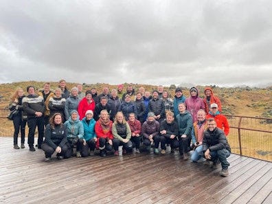
After a long journey, Nýidalur is a perfect place to stop, stretch, rest and enjoy the wonders that nature has to offer. The Iceland Touring Association operates cabin accommodations and a campsite in Nýidalur. Vatnajökull National Park rangers also have a base there and provide visitors with information about the main routes, exciting destinations and suggestions for hiking trails in the area. The area around the Tungnafellsjökull glacier is at the same time both lonely and enchanting, where Iceland's natural splendour is at its most beautiful.
Rangers are also on site and information is available in the Hrauneyjar Highland Centre. The region consists primarily of highland, which is only accessible by four-wheel drive jeeps during the summertime, and unbridged rivers can swell rapidly.
Park rangers in Nýidalur, telephone +354 842 4377
Hrauneyjar
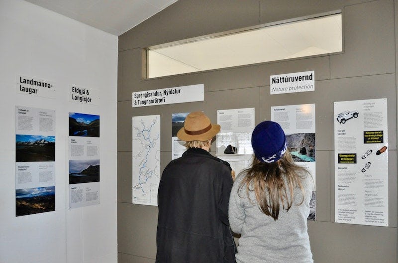
The Hrauneyjar Highland Centre houses an information desk for Vatnajökull National Park and the Environmental Agency of Iceland during the summer. Rangers provide information on interesting stopping points, hiking paths, road conditions and other conditions in Sprengisandur and Fjallabak and surrounding areas.
Park rangers in Hrauneyjar, telephone +354 842 4238
Accommodation
The Touring Association of Iceland operates cabins and a campsite at the mouth of Nýidalur. Accommodations include flush toilets and showers. More information on the cabin is available on the Touring Association's homepage. There are no restaurants, grocery stores or gas stations in Nýidalur.
The Iceland Glaciology Society also operates a cabin in Tungnaáröræfi. The cabin is locked but has a chemical toilet. All information about the cabin can be found at jorfi at jorfi.is. There are no other services available in Tungnaáröræfi.
Nature & history
- Learn and discover
Nature & history
- Learn and discover
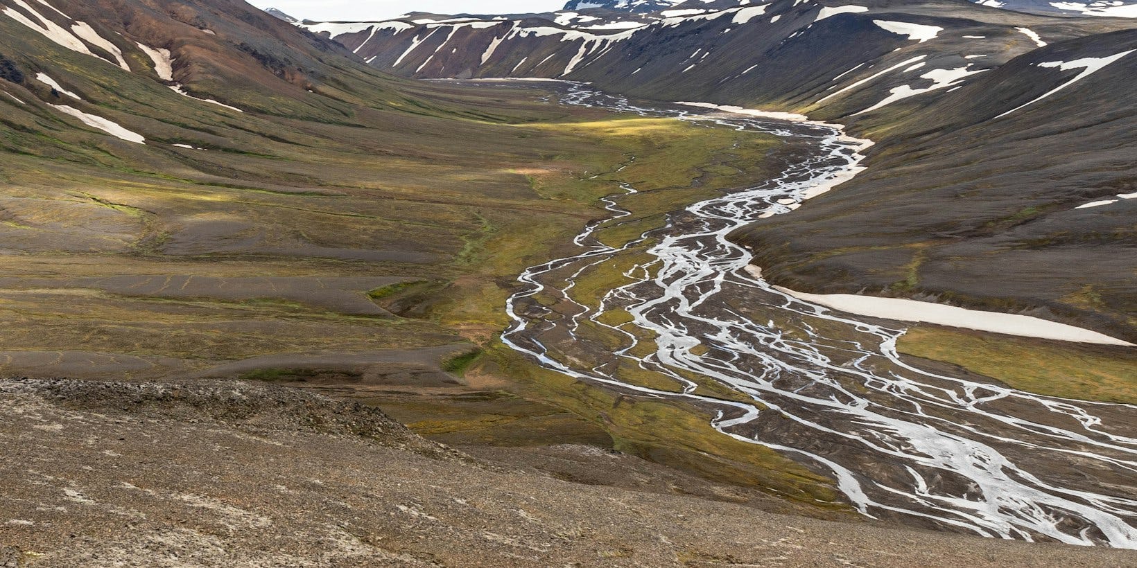
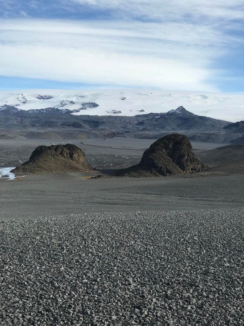
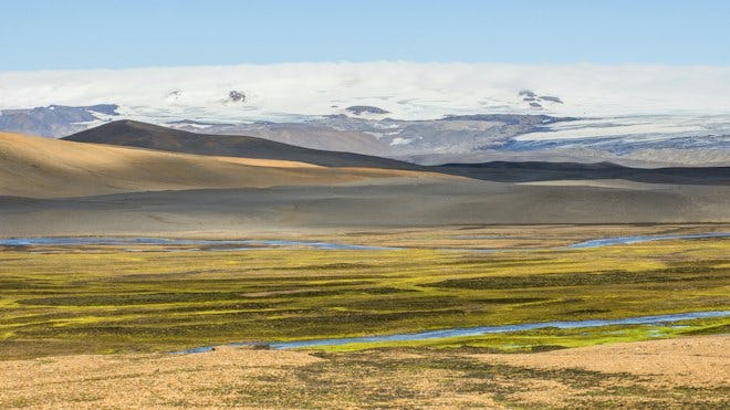
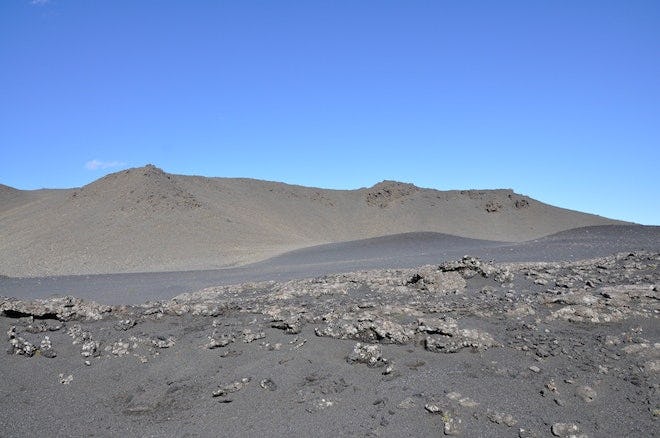
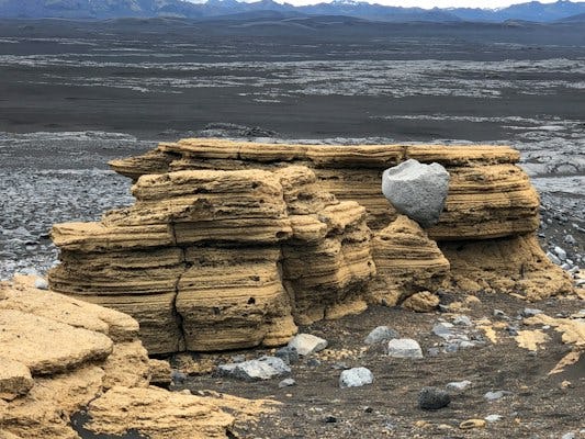
The region is mostly barren desert, though there are occasional patches of vegetation untouched by human activity. Tungnaáröræfi, or Tongue River Wilderness, is the aptly-named area to the north of the river Tungnaá (Tongue River) spanning all the way to Vonarskarð. It is scorched desert under the influence of the formidable Bárðabunga volcanic system; lava fields and craters covered in black sands and pumice. A large part of the region remains little travelled and quiet. The few who do visit the area are enchanted by the vastness, desolation and contrast between black sands, brilliant green moss and the tenacious alpine vegetation hidden in the emptiness, reaching up the south and eastern slopes of the Tungnafellsjökull glacier. Day or night, summer or winter, visitors are in for an impressive sight in the sparse, uninhabited wilderness the region has to offer.
Mantle plumes, volcanic activity and geothermal heat — the interplay of fire and ice
The area's proximity to the volcanic belt and the hot spot over the mantle plume beneath Iceland defines its unique geological character. The centre of the mantle plume is now believed to lie under the northwestern part of Vatnajökull, which is also the site of Bárðarbunga and Grímsvötn, two of the largest and most active central volcanoes in Iceland. The volcanic system of Bárðarbunga is connected to two of the principal crater systems in the country, the Veiðivötn system to the southwest and the Dyngjuháls system to the northeast, in both of which major eruptions have occurred in historical times.
The area has many impressive geosites that are accessible to visitors and bear witness to the fact that this is a site where a plate boundary meets a hot spot, partially covered by a glacier. Even though the area is far from the nearest human habitation, eruptions that occur there can have wide-reaching and permanent effects on large parts of Iceland, due to the resulting ashfall and glacier outburst floods.
Vonarskarð
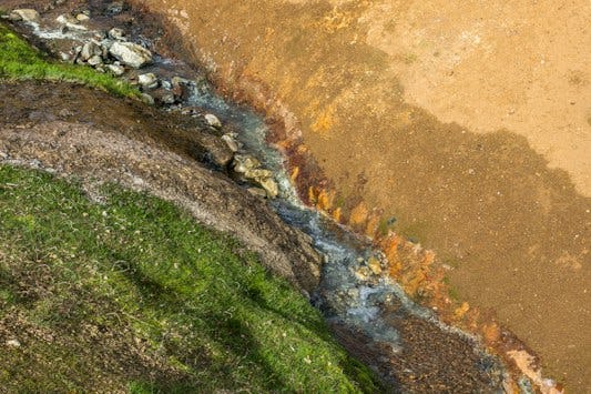
Vonarskarð has a geothermal high-temperature area at an altitude of about 950-1100 metres and unusually diverse vegetation, a colourful hot spring and rare geothermal organisms with high conservation values. It is also the site of one of the highest-altitude mires in the country, at 900 m above sea level. The landscape is unusual, spectacular and varied, there are glaciers and tall mountains, sand plains and gravel banks, glacial rivers, streams without glacial water, warm natural pools and colourful hot springs. Vonarskarð is the site of the water divide of Skjálfandafljót and Kaldakvísl, which flows into the river Tungnaá. The sandy volcanic rock bottom has streams running over it apparently side by side, which eventually reach the sea either in the south or the north of Iceland. The unique nature of Vonarskarð, its wide expanses and tranquility will make an impression on all those who visit the area.
Tungnaáröræfi
Tungnaáröræfi might seem grey and lifeless at first glance, but here, just like elsewhere, life finds a way. Amidst the grey tones is the rust brown of tuff and black pumice. The area north of the Tungnaá river all the way to Vonarskarð is a volcanic desert within the range of the Bárðabunga volcanic system. The area sees very little traffic and is quite serene. It's easy to become captivated by vast desert expanses and the contrast of the black sands and the tenacious alpine vegetation that, if you look carefully, you will find hiding in the barrens.