References & Glacier glossary
Glacier glossary
Ablation: The process of wastage of snow or ice by melting, evaporation, sublimation and calving.
Ablation zone: Low-lying area of a glacier with a net loss of ice and snow. The ablation zone often contains meltwater features such as supraglacial lakes, englacial channels and subglacial waterways.
Accumulation: The process of building up of a pack of snow, refrozen slush, meltwater and firn.
Accumulation zone: The area where snow accumulates, and refreezing takes place, exceeding the loss from ablation. The accumulation zone is also defined as the part of a glacier’s surface, usually at higher elevations, where snow or superimposed ice accumulate and subsequently turn into firn and then glacier ice.
Calving: The process by which pieces of ice break away from a glacier terminus that ends in a body of water, or from the edge of a floating ice shelf terminating in the ocean. Once the pieces enter the water, they are called icebergs.
Carbon dioxide: CO2 is one of the most common greenhouse gases.
Climate: is the prevailing weather condition of a region and changes slowly; weather must be measured for several decades to monitor the changes in the climate.
Climate change (anthropogenic): Anthropogenic greenhouse gas (GHG) emissions cause climate change. The increase GHGs is mainly due to combustion of fossil fuels, such as coal and oil, in electric power plants, transportation and industry and a decrease in the uptake of CO2 due to deforestation, soil erosion and agriculture. Climate change has resulted in melting of sea ice and glaciers, rising sea levels, disruption of ecosystems and increase in extreme weather events.
Crustal uplift: as glaciers thin and retreat, the underlying crust rebounds at an accelerating rate. Measurements indicate an uplift rate of 30–40 mm/year at the center and western part of Vatnajökull ice cap and 12 mm/year at Hornafjörður bay in southeast Iceland.
Downwasting: The thinning of a glacier due to the melting of ice and as a result of ice movements. The loss of thickness may occur in both moving and stagnant ice. Also called Thinning.
Equilibrium line: The line on a glacier’s surface separating the ablation and accumulation areas and where the year’s ablation balances the accumulation. It is determined at the end of the ablation season and commonly coincides more or less with the snowline on temperate glaciers. The elevation of the equilibrium line is dependent on precipitation, temperature and the underlying and surrounding landscape.
Glacier: A persistent body of dense ice that moves under its own weight. Glaciers form where the accumulation of snow exceeds ablation over many years.
Glacial ice: Compacted and intergrown mass of crystalline ice with a density of 830–910 kg/m3.
Holocene: The Ice Age is divided into glacial and interglacial periods. The current interglacial is called the Holocene.
Ice-dammed lake/ice-marginal lake: A lake formed in a depression dammed by a glacier or where two glaciers merge.
Jökulhlaup: Glacier outburst flood. The term originally referred to the well-known glacial outburst floods from the Vatnajökull ice cap and other glaciers in Iceland that are caused by accumulation of water in ice-dammed and subglacial lakes and occasionally by a volcanic subglacial eruptions. The term is now used internationally to describe any abrupt release of water from a subglacial or proglacial lake/reservoir.
Kettle hole: Hollows that form as blocks of ice become submerged in sediment on outwash plains and then melt. Kettle holes are often water-filled.
Lateral moraine: sharp-crested piles of glacially transported rocks and debris, located on a glacier’s surface adjacent to the valley walls. Lateral moraines are only deposited below the equilibrium line where the ice flow transports ice and debris to the surface. It forms by accumulation of rock material rather than by water deposition and is left behind as the glacier melts and thins.
Little Ice Age: A cool period of ca. five centuries in the northern hemisphere (ca. 1450–1900 in Iceland) that led to widespread expansion of glaciers. Maximum glacier extents were attained in 1700–1850 AD in many temperate regions and shortly before 1900 in Arctic regions.
Mass balance: A year-by-year measure of the state of health of a glacier, reflecting the balance between accumulation and ablation. A glacier with a positive mass balance in a particular year has gained more mass through accumulation than it has lost through ablation. Also called mass budget.
Medial moraine: A sediment ridge located on a glacier’s exposed ice surface, away from its valley walls, extending down to the glacier terminus. It forms by the joining of lateral moraines when two glaciers merge.
Moraine: A general term for unstratified and unsorted deposits of sediment that form through the direct action of, or contact with, glaciers. Many different varieties are recognized on the basis of their position with respect to a glacier.
Nunatak: A mountain peak or ridge that stands above the surface of a glacier.
Polar glacier: A glacier with a thermal or temperature regime in which ice temperatures always remain below the freezing point. They are found in the polar areas and ablation is mainly through sublimation and calving.
Polythermal glacier: A thermally complex glacier with both warm and cold ice (q.v.). Typically, warm ice occurs where the ice is thickest as a result of geothermal heating, whilst the snout and margins of the glacier are frozen to the bed.
Retreat: A decrease in the length of a glacier compared to a previous point in time. As ice in a glacier always moves forward, its terminus retreats when it loses more ice because of melting and/or calving than it gains through accumulation and ice flow.
Runoff: the meltwater from the glaciers entering rivers, varies throughout the year.
Sandur: An outwash plain formed by sediment-laden meltwater from glaciers.
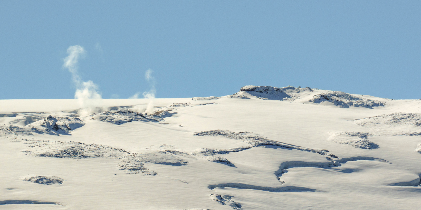
Subglacial lake: A lake under a glacier, often formed by geothermal or volcanic activity.
Surging glacier: Surging glaciers exhibit major flow irregularities. Surge velocities of 30–300 m/day are documented. Non-surging glaciers have relatively constant average annual flow rates and variations are often predictable and related to seasonal changes.
Temperate glacier: A glacier that is at the melting point from surface to base throughout the year except for a thin layer near the surface that may be frozen during winter.
Terminal moraine: A cross-valley, ridge-like accumulation of glacial sediment that forms at the farthest point reached by a terminus of an advancing glacier. Also called an end moraine.
Terminus: The lower-most margin of a glacier, also called snout.
Terminus lake: A lake located by the terminus of a glacier. Such lakes typically form in depressions evacuated by the glacier as it retreats, and they keep growing as the glacier continues to retreat. Terminus lakes are sometimes dammed by an end- or recessional moraine.
Thermal expansion of the ocean: If the ocean warms, the volume increases and the sea level rises. This is one of the main contributors to rising sea level of the 20th and 21st century.
Trimline: A clear boundary line on the sidewall of a glacier valley that delineates the maximum recent thickness of a glacier. It may appear as a change in the color of the bedrock, indicating the separation of weathered from unweathered rock, as the upper border of a former lateral moraine, or as a boundary between vegetated and bare bedrock.
Weather: The weather in contrast to climate is ever-changing and can be forecast only a few days into the future.